Highway 1 to Big Sur: A California Coast Drive from San Francisco
Overview
Highway 1 down to Big Sur runs along cliffs that drop into the Pacific, past the Bixby Creek Bridge, through redwood canyons, and out to the open coast.
The Drive
From San Francisco, head south on Highway 1 through Half Moon Bay, Santa Cruz, and Monterey before reaching Big Sur. The full drive is about 2.5 hours without stops, but plan for 4 to 5 hours with photo stops.
Stops Along the Way
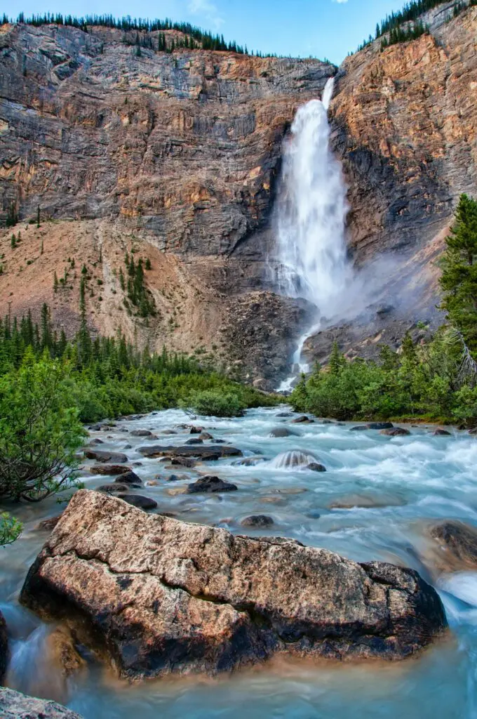
Bixby Creek Bridge, McWay Falls (an 80-foot waterfall that drops onto a beach in Julia Pfeiffer Burns State Park), Pfeiffer Beach (purple-tinted sand and rock formations), and Nepenthe restaurant for lunch with a view over the coast.
Practical Tips
A car is required. Fill up your gas tank before you go, since gas stations are sparse and expensive in Big Sur. Cell service drops out for long stretches, so download offline maps. Highway 1 is fully open as of mid-2026, with one-way traffic control for maintenance just north of Big Sur through July 31. Conditions change, so check current road status at bigsurcalifornia.org before you go, since landslides can close sections in winter and spring.