
The Golden Gate Dozen Trail: 12 National Park Sites on One 13-Mile Route
The Golden Gate National Parks Conservancy has connected 12 of San Francisco’s national park sites into a single named route. Announced July 1, 2026, the Golden Gate Dozen Trail runs about 13 miles along the city’s northern and western shoreline, from Crissy Field to Fort Funston, and it is mapped on AllTrails through a partnership between the Conservancy and the app.
What the Route Covers
The trail is stitched together from existing paths, sidewalks, and park trails rather than newly built tread. There are no physical trail markers on the ground, so the route exists digitally, with turn-by-turn directions for hiking or biking between stops. AllTrails lists it as a 4.5 to 5 hour outing for the full distance. The Conservancy suggests walking it in sections rather than in one push.
The 12 sites, in order from east to west, are Crissy Field, Presidio Tunnel Tops, Fort Point, the Golden Gate Bridge Welcome Center, Baker Beach, a Presidio side trip on the Lobos Creek Valley Trail, China Beach, Lands End, Sutro Baths, Sutro Heights, Ocean Beach, and Fort Funston.
The Route, Segment by Segment
These are the Conservancy’s own segment distances for the walking route, which is useful if you want to pick one piece rather than the whole thing.
Crissy Field to Presidio Tunnel Tops, 0.5 miles. Start at the East Beach parking lot and head west on the Crissy Field Promenade, then cut through the East Bluff Picnic Area to the bridge over Crissy Marsh. Flat the whole way, and the marsh is a birdwatching stop.
Presidio Tunnel Tops to Fort Point, 1.5 miles. Loop Tunnel Tops for the bridge and Alcatraz views, then rejoin the promenade past the Warming Hut. The promenade becomes Marine Drive and runs to Fort Point.
Fort Point to the Golden Gate Bridge, 0.7 miles. Fort Point is free to enter and sits directly under the bridge. To climb out, head back toward the Warming Hut and take the Battery East Trail steps up the hill to the Welcome Plaza.
Golden Gate Bridge to Baker Beach, 1.5 miles. The Battery East Trail swings under the bridge and becomes the California Coastal Trail, passing the Golden Gate Overlook. The Batteries to Bluffs Trail is an option here and adds 30 minutes to an hour.
Baker Beach to the Presidio, 0.1 miles, plus 0.8 miles if you take the Lobos Creek Valley Trail detour, which the Conservancy estimates at 30 to 45 minutes. The stretch past the Baker Beach parking lots gets sandy, and a small staircase at the south end climbs to 25th Avenue in Sea Cliff.
The Presidio to China Beach, 0.7 miles. Sea Cliff Avenue drops to China Beach, about a 10-minute side trip, then becomes 29th Avenue and El Camino Del Mar.
China Beach to Lands End, 1.2 miles. El Camino Del Mar climbs to Lincoln Park, where the Coastal Trail picks up again and runs the old railroad grade past Eagle’s Point Overlook to the Lands End Lookout.
Lands End to Sutro Baths, 0.6 miles, then Sutro Baths to Sutro Heights, 0.3 miles. Crossing Point Lobos Avenue between the two is the one genuinely busy road crossing on the route.
Sutro Heights to Ocean Beach, 0.3 miles, crossing the Great Highway at Balboa Street.
Ocean Beach to Fort Funston, 5.7 miles. This is by far the longest segment and most of it is flat. You can walk the sand, the Esplanade Trail, or the car-free Sunset Dunes park for roughly 3 miles, then follow Sloat Boulevard and Skyline Boulevard around the San Francisco Zoo and Lake Merced to Fort Funston.
Doing It by Bike
The Conservancy publishes a separate bike route that still reaches all 12 sites. It follows the Mason Street bike path out of Crissy Field, climbs to Lincoln Boulevard, picks up the Battery East Trail under the bridge, and rejoins Lincoln for the descent to Baker Beach. The one tradeoff is Lands End: bikes miss the Lands End Trail itself and instead route up past the Legion of Honor and along Clement Street. The Conservancy flags the shoulder on Skyline Boulevard past the Zoo as the trickiest stretch.
Accessibility
Many parts of the route are wheelchair accessible, including the Crissy Field Promenade. Beach wheelchairs can be requested at Crissy Field, Baker Beach, and Ocean Beach. Tactile maps are installed at Fort Point and Lands End. The Conservancy, the National Park Service, and the Presidio Trust each publish accessibility details for the individual sites.
Stickers
The trail has an illustrated donut as its mascot, a reference to the dozen sites the route ties together. Walkers can collect donut stickers at three visitor centers along the way: the Presidio Visitor Center, the Warming Hut near Fort Point, and the Lands End Lookout. As of the Conservancy’s July 22, 2026 update, stickers were running short at all three locations, with restocks expected in August. To get one, mention the Golden Gate Dozen to a Parks Conservancy employee.
Getting There by Transit
The eastern trailhead at Crissy Field is reachable on the free PresidiGo shuttle from the Presidio Transit Center, and Muni routes 30 Stockton and 43 Masonic serve the Presidio. At the western end, the 58 Lake Merced runs from Fort Funston to Stonestown for the M Ocean View light rail, or you can walk back to the Zoo and catch the L Taraval at Wawona and 46th Avenue. Because the route is one continuous line rather than a loop, picking your transit pickup point before you start makes it easier to walk a single segment and ride back.
Turn-by-turn directions are on the Golden Gate National Parks Conservancy site and the route is listed on AllTrails. The new trail was also reported on July 6, 2026 by Axios San Francisco. For more this month, see our guide to things to do in San Francisco in August 2026.
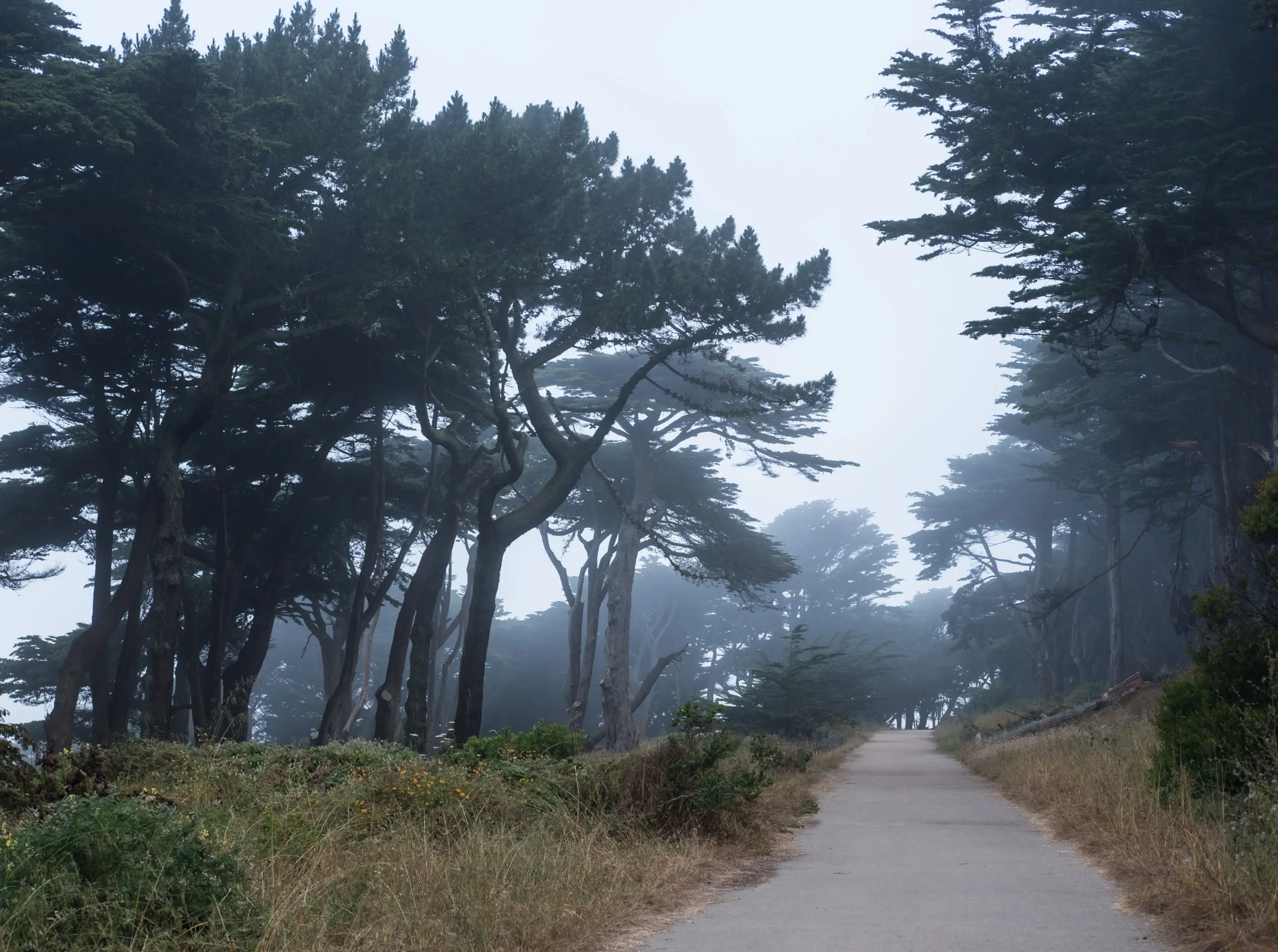
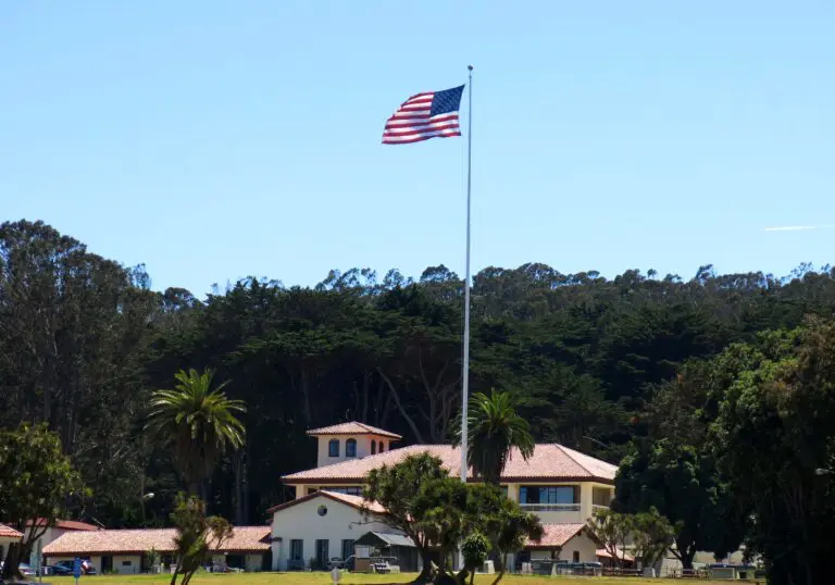
Photo: Sharon Mollerus, CC BY 2.0, via Wikimedia Commons.
More SF News
 The Golden Gate Dozen Links 12 San Francisco National Park Sites in One 13-Mile RouteSep 7, 2026
 Muni Heritage Weekend Returns September 19 and 20 With Free Rides on Historic StreetcarsSep 7, 2026
 Cole Valley Is Getting Pasta Supply Co, a New Sushi Restaurant, and an Antique StoreSep 5, 2026
 The Presidio Turns 250 on September 17, With a Free Anniversary Walk on the 13thSep 5, 2026