-
 1
1
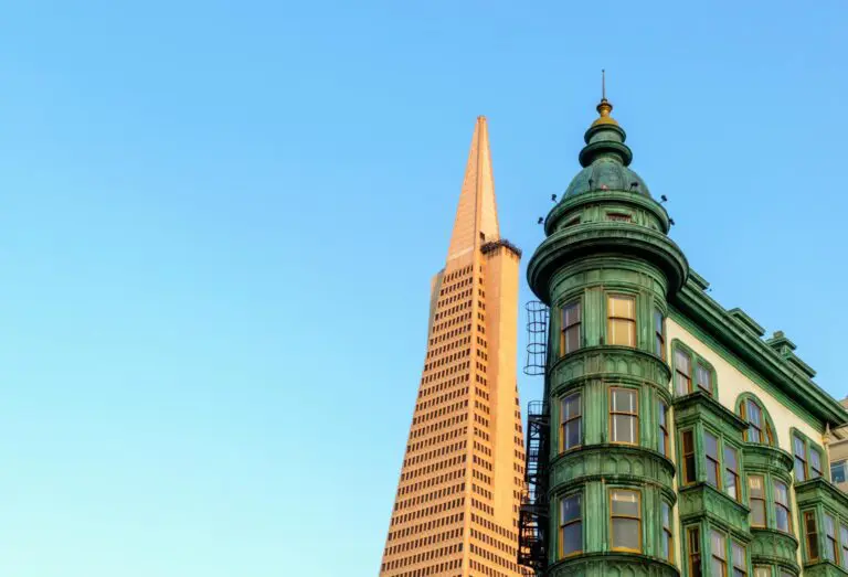
North Beach
North Beach is named for a beach that was filled in during the 19th century. It became San Francisco's Little Italy and, in the 1950s, the center of the Beat movement.
-
 2
2
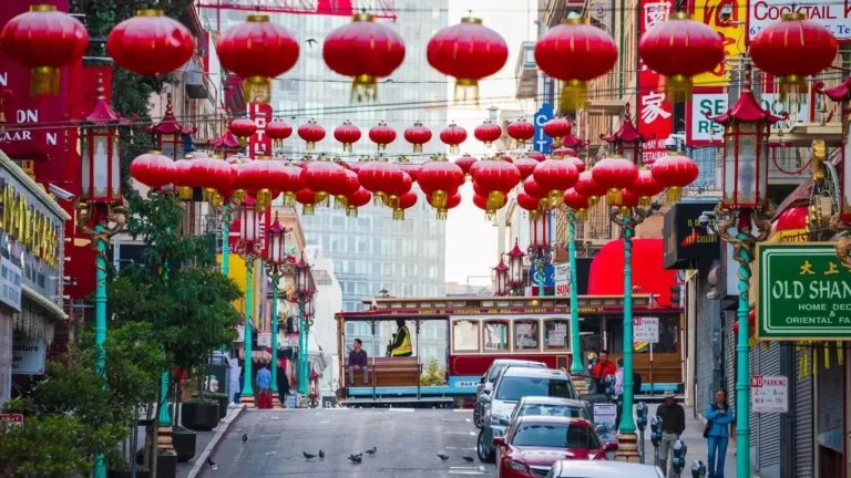
Chinatown
San Francisco's Chinatown is the oldest in North America and one of the largest outside Asia.
-
 3
3
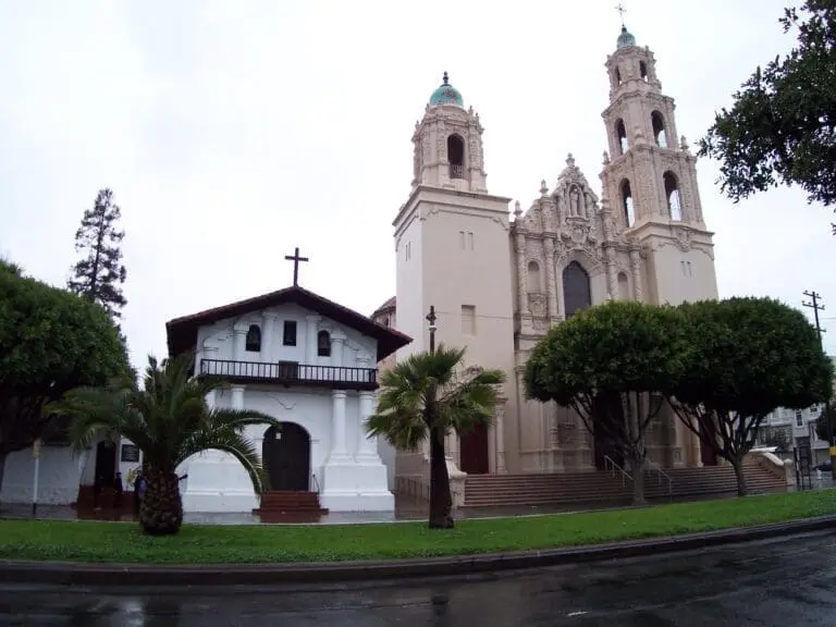
The Mission District
The Mission is San Francisco's Latino cultural heart and sunniest neighborhood, known for taquerias, mural-lined alleys, and Mission Dolores, founded in 1776.
-
 4
4
Haight-Ashbury
Haight-Ashbury grew as a streetcar suburb in the 1880s and 1890s. Its Victorian flats and cheap postwar rents set the stage for the 1967 Summer of Love.
-
 5
5
The Castro
The Castro was farmland called Eureka Valley before becoming San Francisco's gay neighborhood in the late 1960s and 1970s. Harvey Milk ran his campaigns from a camera shop on Castro Street.
-
 6
6
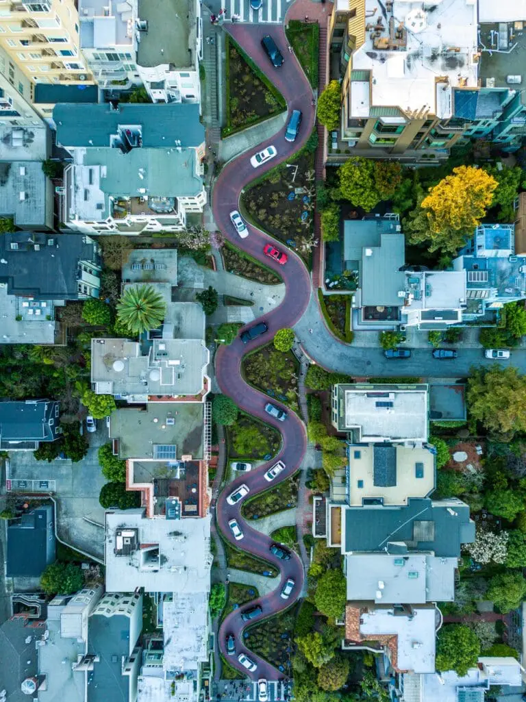
Russian Hill
Russian Hill is a residential neighborhood on the hill north of Nob Hill, between Polk Street and the bay.
-
 7
7
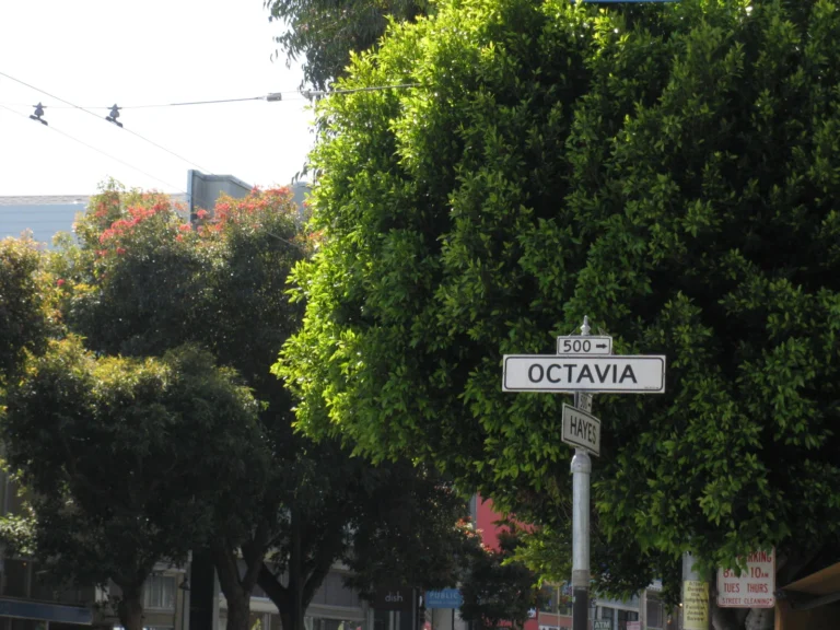
Hayes Valley
Hayes Valley is named for Thomas Hayes, who developed the area in the 1850s. Its current walkable form dates to the removal of the Central Freeway after the 1989 earthquake.
-
 8
8
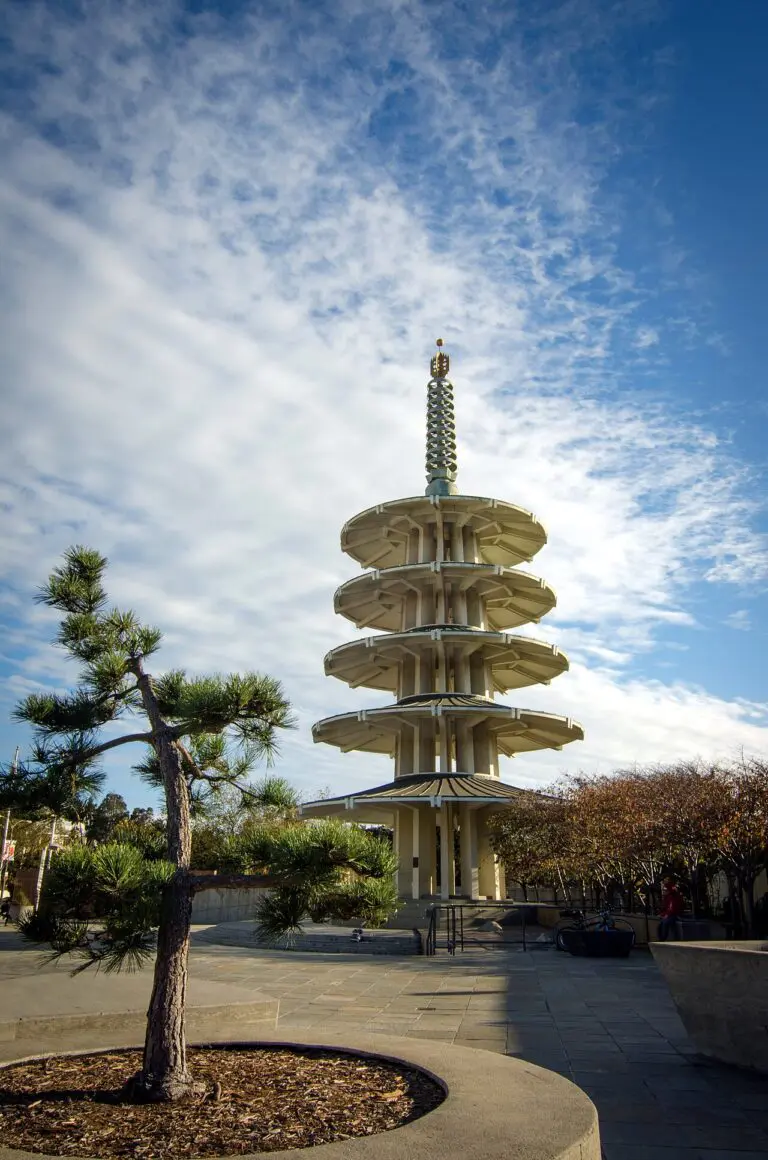
Japantown
Japantown is a small neighborhood in the Western Addition, centered on the Japan Center malls and the Peace Pagoda.
-
 9
9
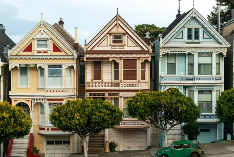
The Richmond
The Richmond is the residential grid west of Arguello and north of Golden Gate Park, running out to Ocean Beach.
-
 10
10
-
 11
11
Pacific Heights
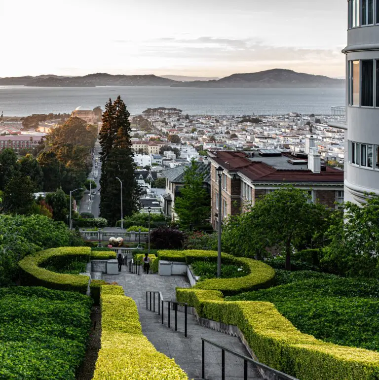
Pacific Heights developed as a wealthy residential district from the 1870s. Much of its early Victorian and Edwardian housing survived because the 1906 fire stopped at Van Ness Avenue.
-
 12
12
Presidio
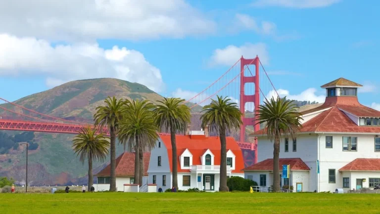
A 1,500-acre former Army post on San Francisco's northern tip, now national park land. It holds the south end of the Golden Gate Bridge, Crissy Field, Tunnel Tops, and miles of trails.
-
 13
13
The Embarcadero
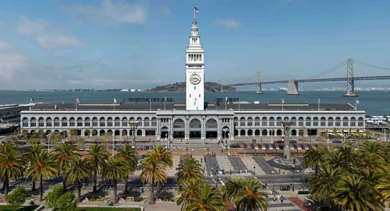
The Embarcadero is the waterfront promenade along the eastern edge of San Francisco, running from Fisherman's Wharf to Oracle Park.
-
 14
14
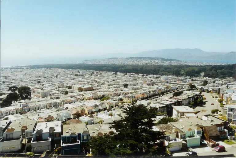
The Sunset
The Sunset is the residential grid south of Golden Gate Park, running from Stanyan Street out to the Pacific.
-
 15
15
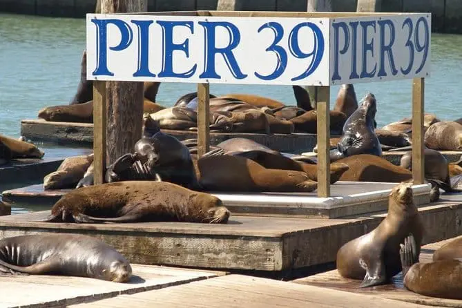
Fisherman’s Wharf
Fisherman's Wharf runs along the northern waterfront from Pier 39 west to Aquatic Park and Ghirardelli Square.
-
 16
16
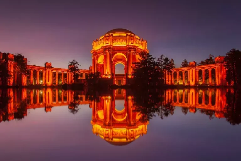
Marina District
The Marina spreads along the northern waterfront. The land itself is mostly artificial.
-
 17
17
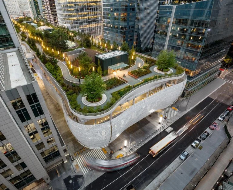
SoMa
SoMa stands for South of Market. The neighborhood spreads across former industrial flats south of Market Street.
-
 18
18
-
 19
19
Financial District
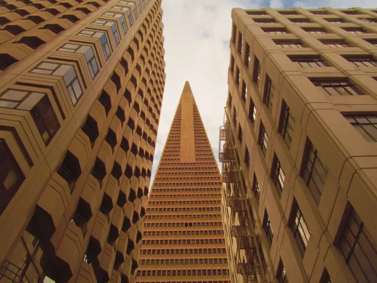
The Financial District is built on the filled-in Yerba Buena Cove, with Gold Rush ships still buried beneath the streets. It became the banking center of the West Coast after 1849.
Last updated August 18, 2026