Shipwrecks of Lands End
The Verdict
"The coast between Lands End and the Marin Headlands has sunk more than 300 ships since the Gold Rush. At low tide, follow the Lands End Trail south of Mile Rock Beach to see the rusted remains of three ships: the Lyman Stewart, the Frank H. Buck, and the SS Ohioan."
What you need to know
Shipwrecks of Lands End
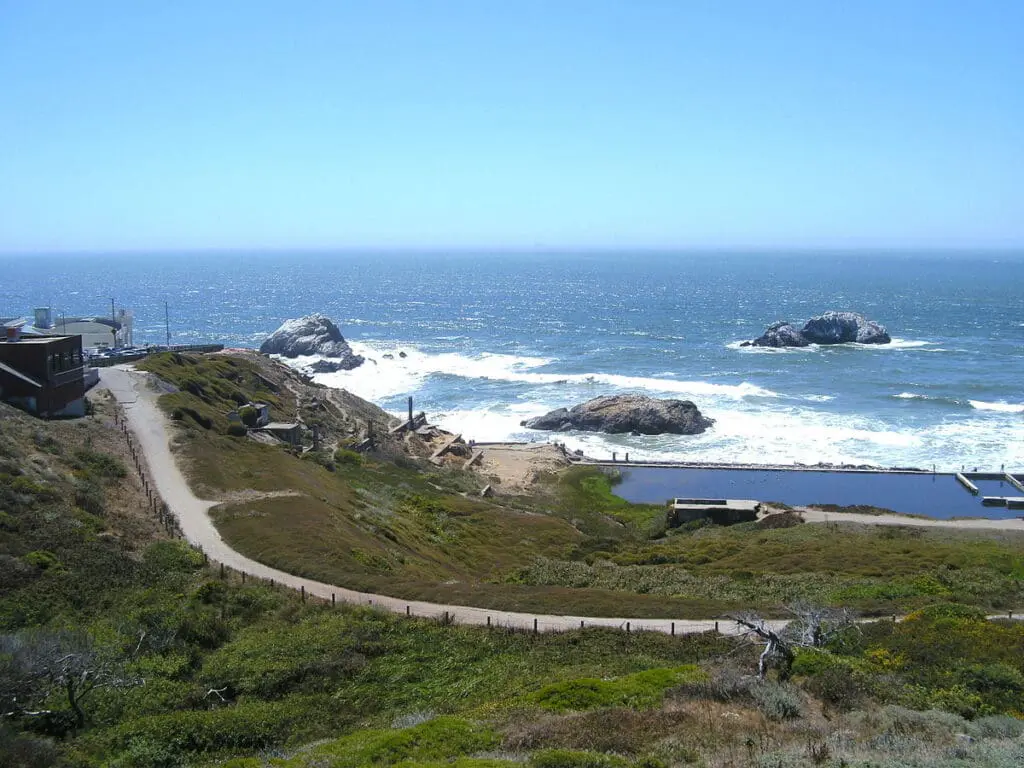
The shipping channel between Lands End and the Marin Headlands has claimed more than 300 ships since the Gold Rush. Treacherous currents, dense fog, and jagged rocks beneath the surface turned this stretch of coast into a graveyard for vessels through the 1800s and early 1900s. At low tide, you can still see the rusted ribs of at least three wrecks poking through the surf.
What You’ll See
The visible wreckage south of Mile Rock Beach (reached from the Lands End Trail) comes from three ships: the Lyman Stewart (ran aground 1922), the Frank H. Buck (1937), and the SS Ohioan (1936). Depending on the tide, you’ll see iron hull fragments and scattered debris that have been slowly dissolving into the ocean for nearly a century.
The most famous local wreck, the SS City of Rio de Janeiro, hit Mile Rock in heavy fog on February 22, 1901 and sank in about eight minutes, killing roughly 130 of the 210 people aboard. The wreck itself was located by NOAA in 2014 and sits deep underwater, but interpretive signs along the trail tell the story.
The wreck-spotting pairs with the Lands End Trail itself, a 3.4-mile coastal path with views of the Golden Gate Bridge, the Marin Headlands, and the Pacific.
Visibility depends entirely on the tide, so check tide charts before going. Low tide is the only window when the wreckage is exposed.
Visiting
Hours: Trail open dawn to dusk. Visitor center hours vary.
Cost: Free
What to know: Wear sturdy shoes. The trail has uneven terrain and some sections are rocky. Don’t climb down to the beach near wrecks; the rocks are slippery and the currents are dangerous. Stay on the trail.
Getting There
Transit: Muni 38-Geary to the end of the line (48th Avenue), then walk north to the trailhead. The 18-46th Avenue also connects.
Parking: Free lot at the Lands End Lookout Visitor Center. Fills up on weekends by mid-morning.
Walking: Connects to the Sutro Baths ruins, the Cliff House site, and the Coastal Trail toward Baker Beach.