
-
 1
1
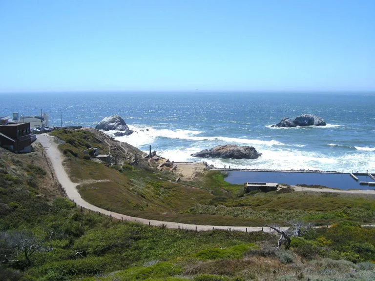
Lands End
A coastal trail at the northwest edge of San Francisco, about 1.5 miles one way. Cypress trees, shipwreck remains visible at low tide, and a cliffside labyrinth above Mile Rock Beach.
Plan your hike around low tide and you can spot shipwreck debris below the overlooks.
680 Point Lobos Ave, San Francisco, CA 94121 Full write-up → -
 2
2
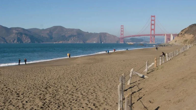
Baker Beach
A mile of sand at the southwest edge of the Presidio, with the Golden Gate Bridge visible from the beach.
Walk to the north end for the cleanest bridge view; that stretch is also the clothing-optional one.
1504 Pershing Dr, San Francisco, CA 94129 Full write-up → -
3
Sutro Baths
The ruined foundations of an 1894 saltwater bathing palace that burned in 1966, on the rocks at Lands End.
Park free at Merrie Way and go late in the day for the light, but keep off the wet algae covered concrete at the water's edge.
680 Point Lobos Ave, San Francisco, CA 94121 Full write-up → -
4
Ocean Beach
Three and a half miles of Pacific sand on the city's western edge, with dangerous surf and no lifeguards.
Park at the Beach Chalet lot off Fulton and walk in, because the old Great Highway between Lincoln and Sloat is a car free park now.
Great Highway at Fulton St, San Francisco, CA 94121 Full write-up → -
5
Marshall’s Beach
A footpath-only beach under the Presidio bluffs, with the Golden Gate Bridge directly overhead.
Check a tide table and go on a falling tide, because at high water there is no beach left to stand on.
Batteries to Bluffs Trail, Lincoln Blvd, San Francisco, CA 94129 Full write-up → -
6
Fort Funston
Bluff top trails, a hang glider launch and a 1930s gun battery above the south end of Ocean Beach.
Walk the paved bluff loop for the hang gliders and skip the sand trail down unless you want a hard climb back up.
Fort Funston, Skyline Blvd, San Francisco, CA 94132 Full write-up → -
 7
7
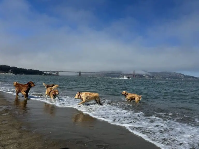
Crissy Field
A restored tidal marsh and waterfront promenade in the Presidio with ground-level views of the Golden Gate Bridge. Flat and easy walking from the Marina to Fort Point.
Walk the flat path to the Warming Hut at the far end for coffee, then watch the windsurfers launch off the beach.
1199 East Beach, Presidio, San Francisco, CA 94129 Full write-up → -
8
China Beach
A sheltered cove beach below Sea Cliff, looking straight out at the Golden Gate and the Marin Headlands.
A rehabilitation project is still underway with parts of the site closed and very limited parking, so call the park service on 415-561-4700 before making the trip.
Sea Cliff Ave at 28th Ave, San Francisco, CA 94121 Full write-up → -
 9
9
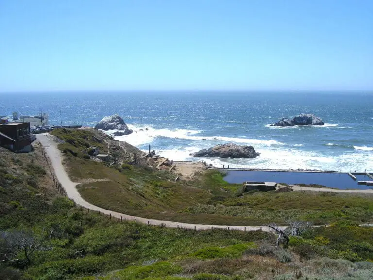
Shipwrecks of Lands End
Rusted shipwreck remains visible at low tide along the Lands End Trail. Check tide charts before you go. The 3.4-mile coastal path with Golden Gate views is the reason to go even without the wrecks.
The coast between Lands End and the Marin Headlands has sunk more than 300 ships since the Gold Rush. At low tide, follow the Lands End Trail south of Mile Rock Beach to see the rusted remains of three ships: the Lyman Stewart, the Frank H. Buck, and the SS Ohioan.
680 Point Lobos Avenue, Lands End Full write-up →
Last updated August 18, 2026